
Rotor Rascals
Welcome to Rotor Rascals. We provide Drone services across NSW and beyond, if you're not sure if a drone is suitable for your needs - get in touch for a no obligation discussion.
(Please bear with us while the site is under construction - photos and videos from the Matrice 30 T are forthcoming)
Why choose Rotor Rascals?
With years of experience across Emergency Services, Military, High risk corporate environments and a practical honest approach to problems - we can be your partners in achieving your goals safely and accurately.
We have experience operating in:
Fires (Structure and Wildland)
Hazmat situations
Floods and weather events
High rise environments
Electrical infrastructure
Search and Rescue
Surveillance and Evidence collection
Assessments of unstable structures or terrain
Thermal surveys/inspections/assessments
With years of experience in safely assessing and operating in dangerous environments, you can be assured of a no hassle and worry free experience.
Is your work out in the middle of nowhere? no worries - with a full off grid setup we can achieve the mission safely and quickly.
With our REOC conditions we are also able to conduct missions with Extended Line of Sight, Night flights and within areas which are normally off limits to general Pilots or under the Restricted category (subject to necessary approvals)
Q + A
Have questions? hopefully the answer is below, if not please send us a message via the form.
Drones can be used to get results and information quickly.
Traditional methods for various tasks can involve multiple people, long timeframes, high costs, safety risks, equipment hire and can sometimes risk further damage.
Drones can be used to get things done quickly, safely and provide video and photo evidence for reference in future.
The risks with drone usage are very low if managed correctly and legally.
At RotorRascals we handle the health and safety, airspace regulations, risk management and mitigation tasks ourselves. By hiring licensed pilots, you will find that a lot of headaches are taken care of for you.
If you run a building site, or other similar site with health and safety requirements - we also adhere to your needs as well.
We like to ensure you own the footage, photos, data points and models generated as part of the work.
We may ask if you are happy with us using some for promotional purposes but you have the option to say no.
Similar with applying credit for footage used in promotional material, we would ask to be referenced as long as it not antithetical to the end product.
We provide raw footage and data as default, however we can also provide edited footage to achieve your goals. This will likely incur a cost depending on how much time it takes.
All footage shown on this site remains raw and unedited.
Have a use for a drone that's not listed? Wondering if we can help anyway?
The use of drones is very broad so we can not cover every use and situation on the site. Get in touch! We are happy to help in anyway we can, if we don't have the drone tech to achieve your goal then we can put you in touch with other drone pilots.
Have a drone and a mission but no licensed pilot?
We can fly any multi rotor drone up to 25KG, with enough details of the drone and subject to safety checks - we can likely add it to our REOC temporarily (if required) and fly the mission and then remove it once complete.
Get in touch!
We also make reports and provide raw data files for your needs, this can include all georeferencing data, texturing, meshing, filter points and more.
We create custom reports for each mission which details information such as height, wind speed, GPS coordinates, What 3 Words, weather conditions and other notes as needed. We can customise these reports as required, just tell us what information is most important to you.
Click the link below to view a standard report we can provide along with your data.
We have multiple ways of providing the information securely, we can provide encrypted files, passworded downloads, encrypted emails etc.
We can also create and provide chain of custody forms filled out from collection to handover.
We can also provide the hashes for evidence as required to ensure there is no tampering with evidence files.
This can be a complicated question as no two jobs are the same, below are the introductory rates for basic missions.
Photography and Videography - $150/hr
Mapping (Photogrammetry) - $250/hr
Roof/Structure Visual survey - $300/hr
3D Modelling - $300/hr
Thermal Survey/Inspection/other - $400/hr
These are basic rates and include the initial processing of the data into useable formats.
More advanced processing of the data may incur further charges, the circa figure for further office based processing is $65/hr. Should the deliverable require a lot of extra work, a fixed price may be agreed on for the project as a whole.
Should the work require travel above 50KM, this will be charged at a business rate.
Should the work require multi-day operations, accommodation and meals may also be charged as appropriate.
What Equipment do we use?
At RotorRascals the hardware we are using to achieve current goals is growing, we can also hire drones for specific jobs (cost to be discussed) and meet your needs.
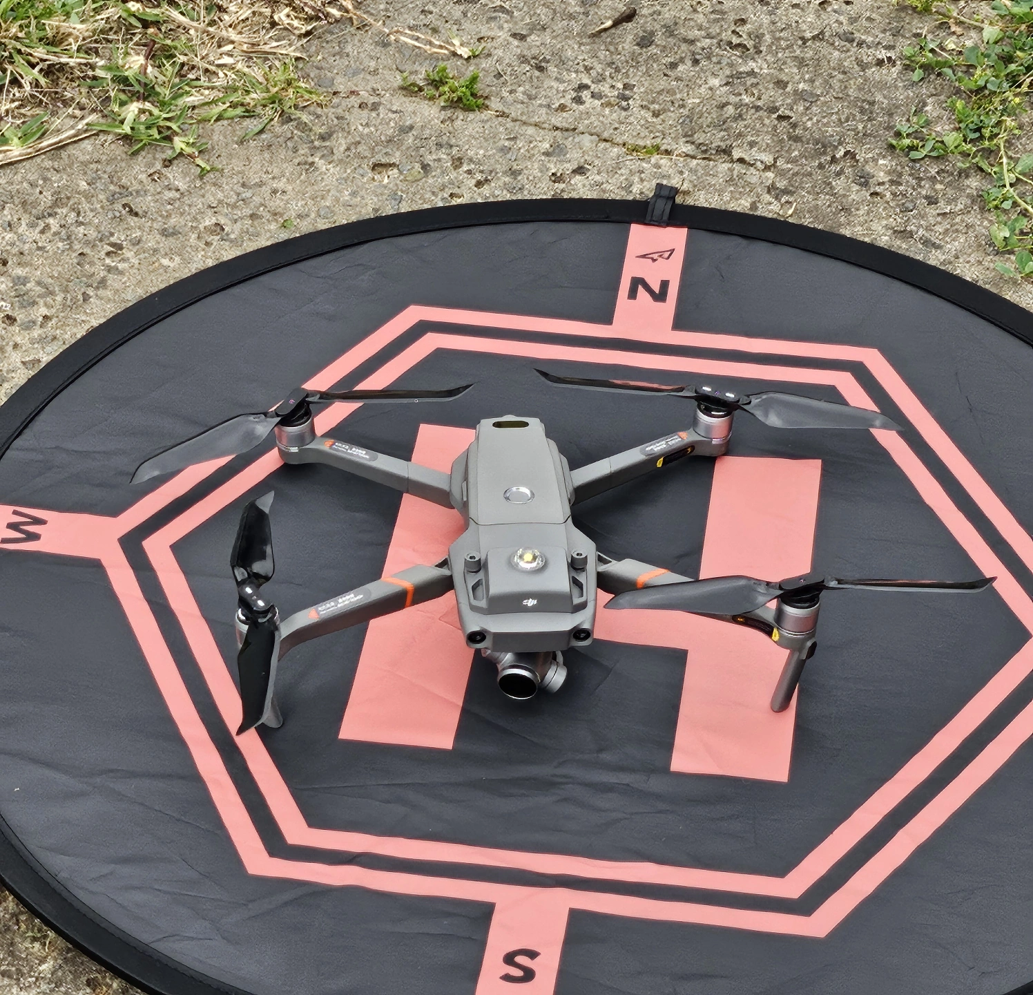
With the Mavic 2 Enterprise Zoom, we can get stunning photos and videos in a variety of environments. We use ND filters and a night filter to capture data in bright or night conditions.
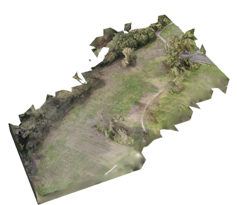
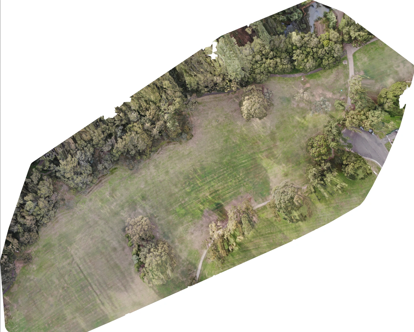
With this drone we can also create photomosaic maps and 3D models of scenes. With the Zoom and size of this drone we can operate in areas where a bigger drone may not be able to.
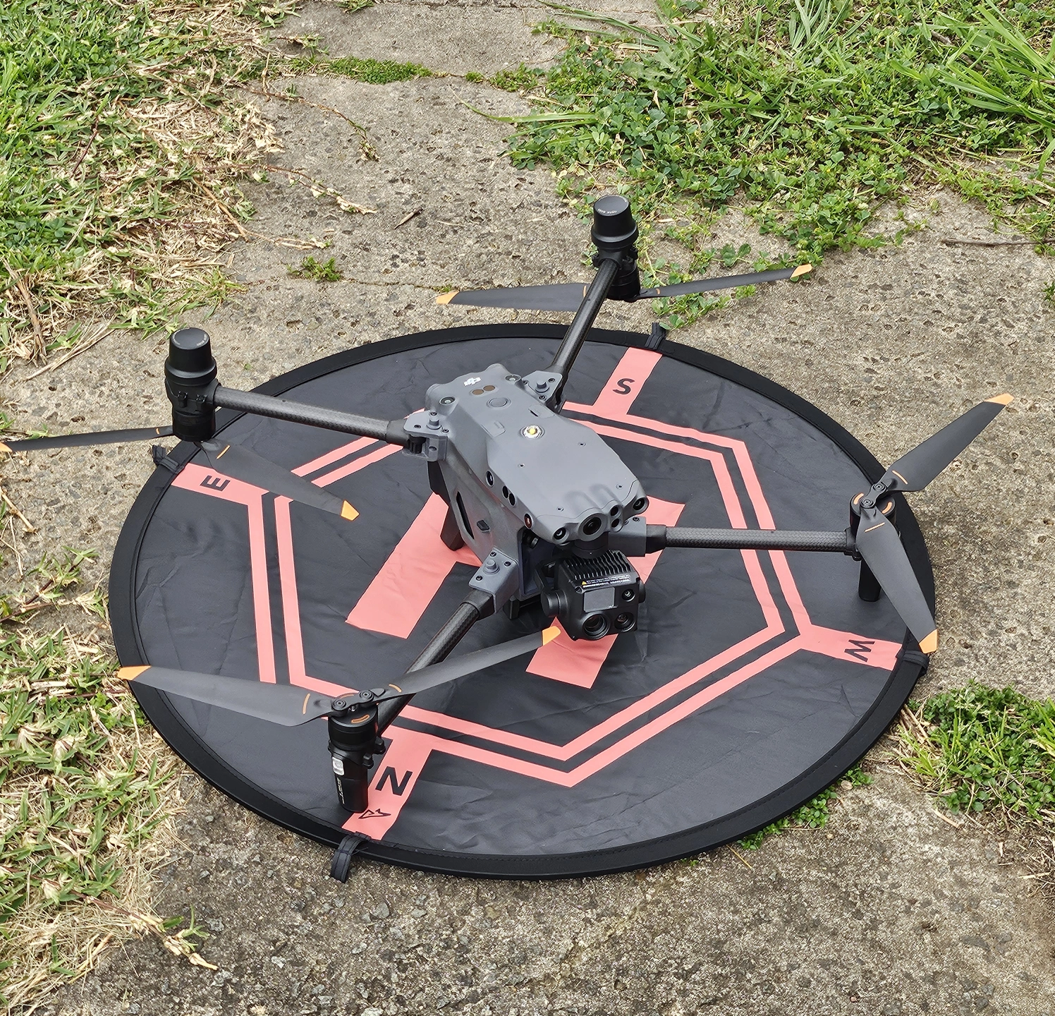
With the Matrice 30T we can specialize in industrial, emergency services work, damage assessments and more - even working in weather conditions other drones are not rated for.
With the M30T we can get high quality images from a great distance with the 200x zoom function and wide angle camera lenses which ensures risks to infrastructure or of subject exposure are minimal. With the thermal capability we can look for hardware faults, water ingress, body heat, hot spot detection and more.
With the tracking features we can also have the drone follow and record subjects automatically..
What services do we offer?
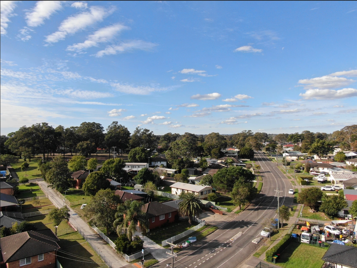
Photography
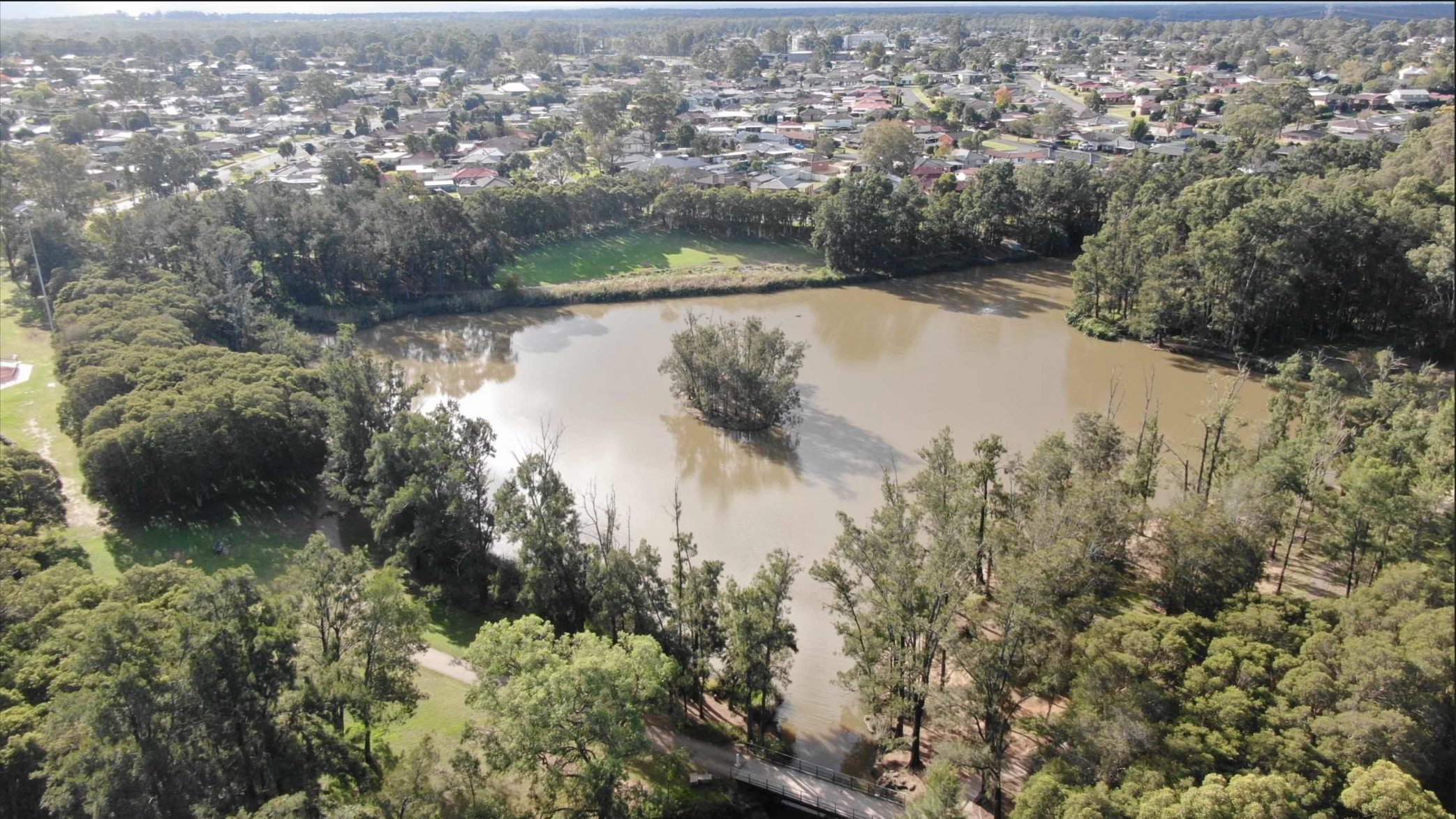
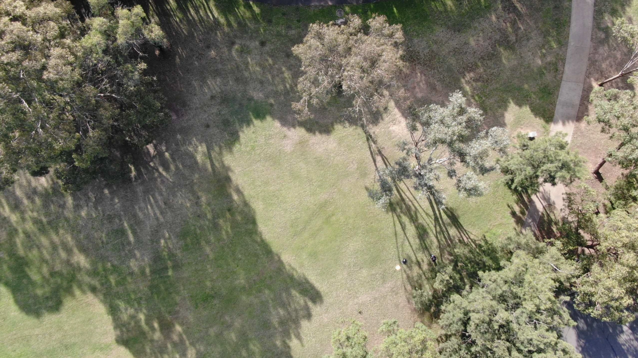
Drone photographs or Videos can be used for marketing, special events and more.
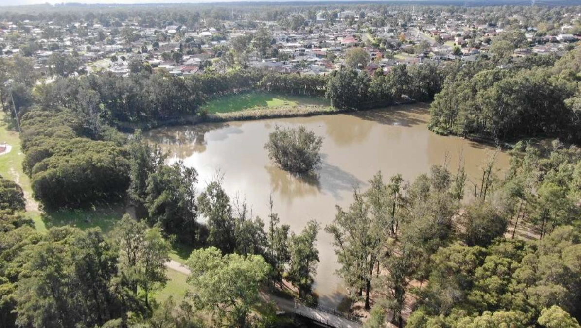
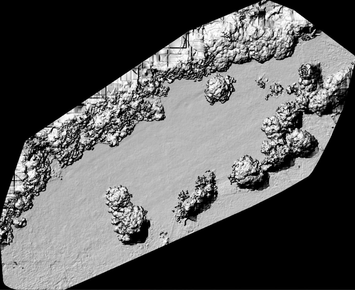
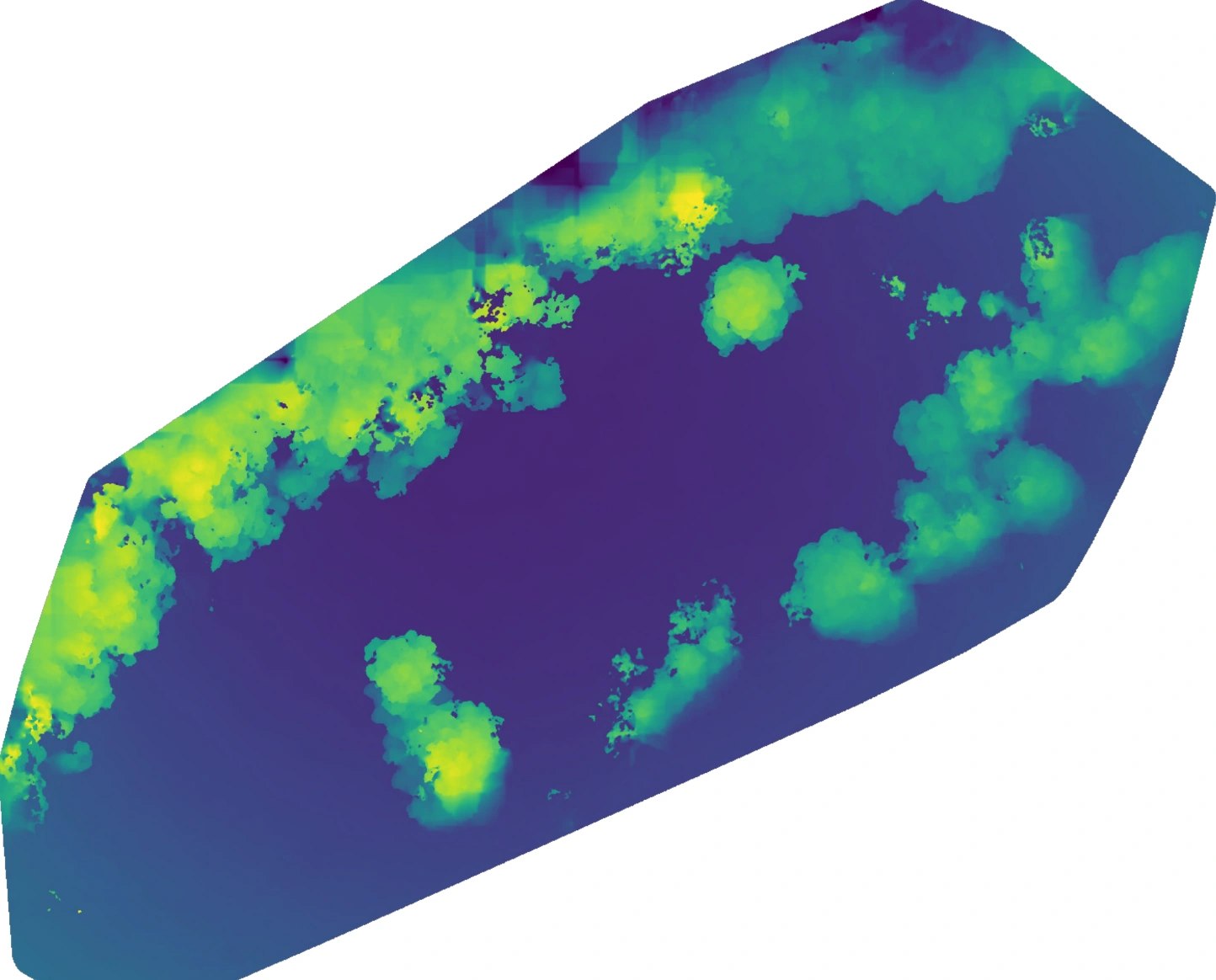
Mapping
We can create detailed up to date maps of your site, this can be on a one off arrangement or recurring for documenting project progress.
Surveys
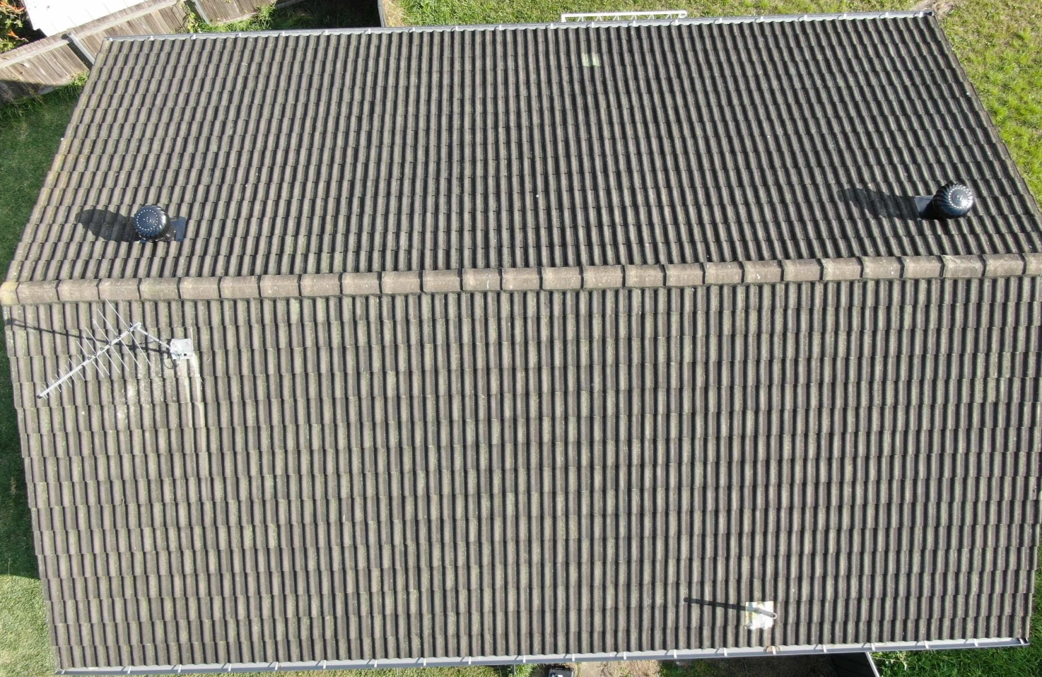
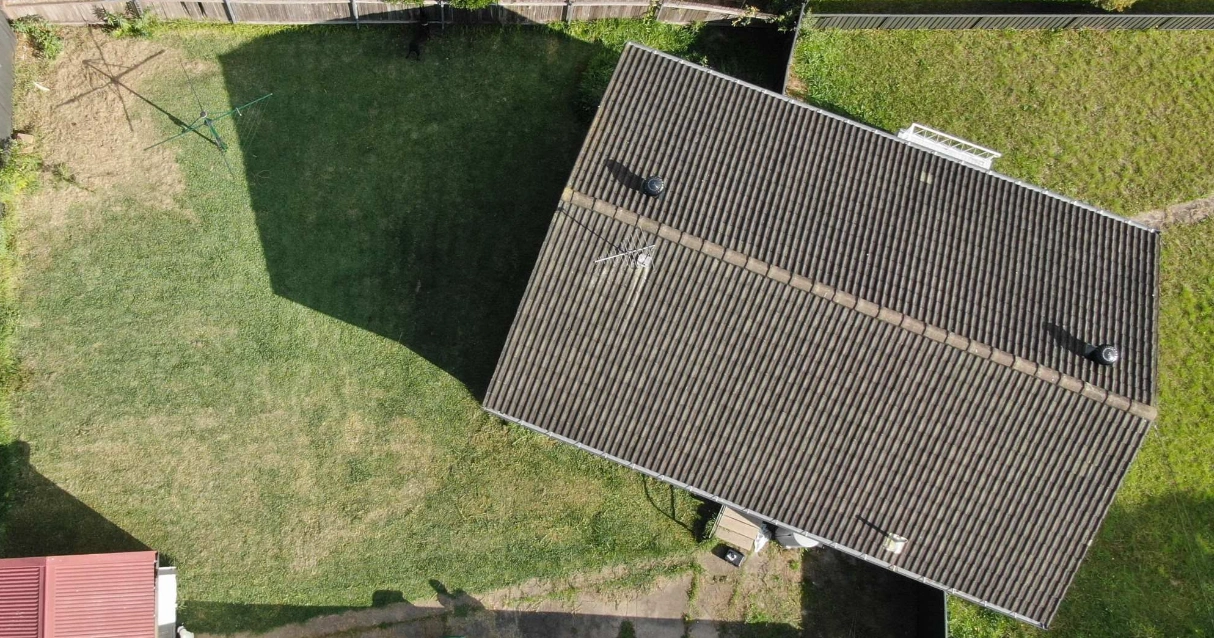
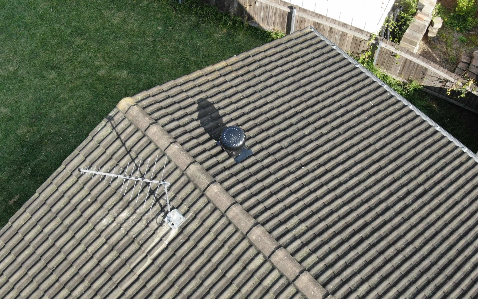
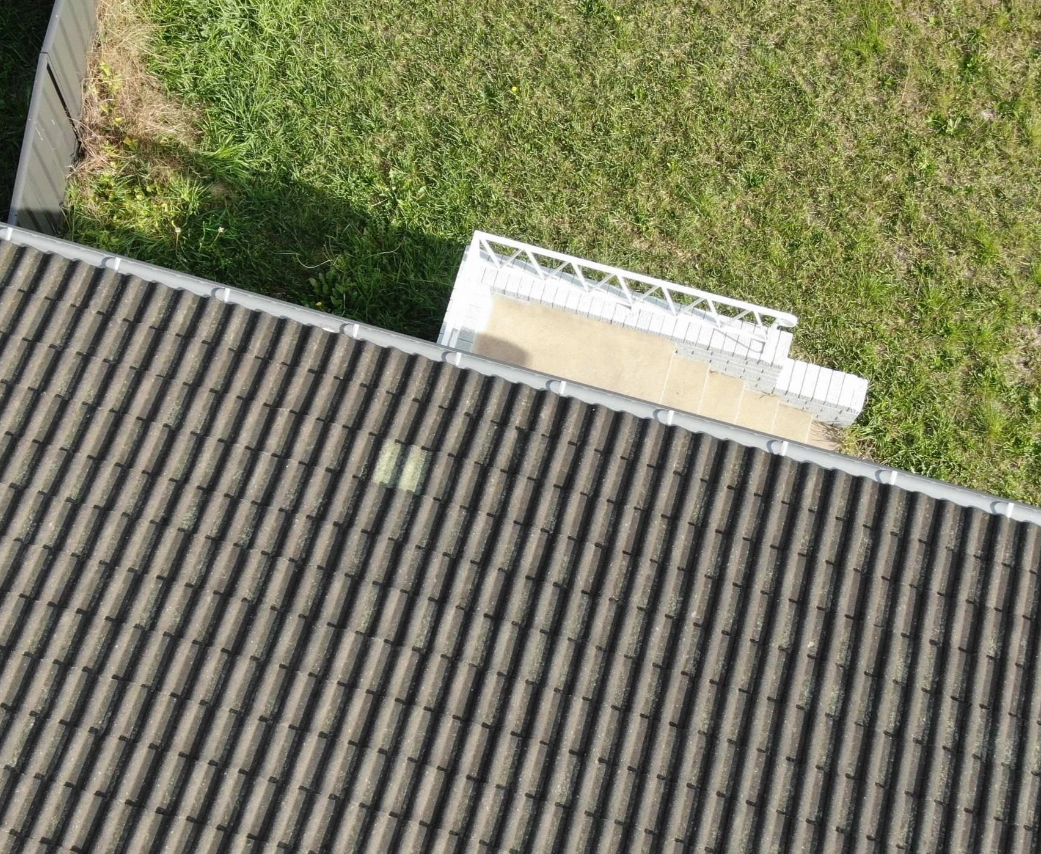
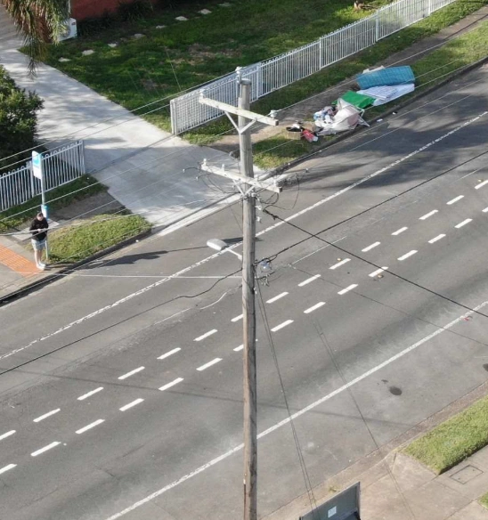
For safe surveying of difficult to reach places, get highly detailed surveys to assess damage or work planning. We cover buildings, quarries, electrical and infrastructure sites and more.
Events
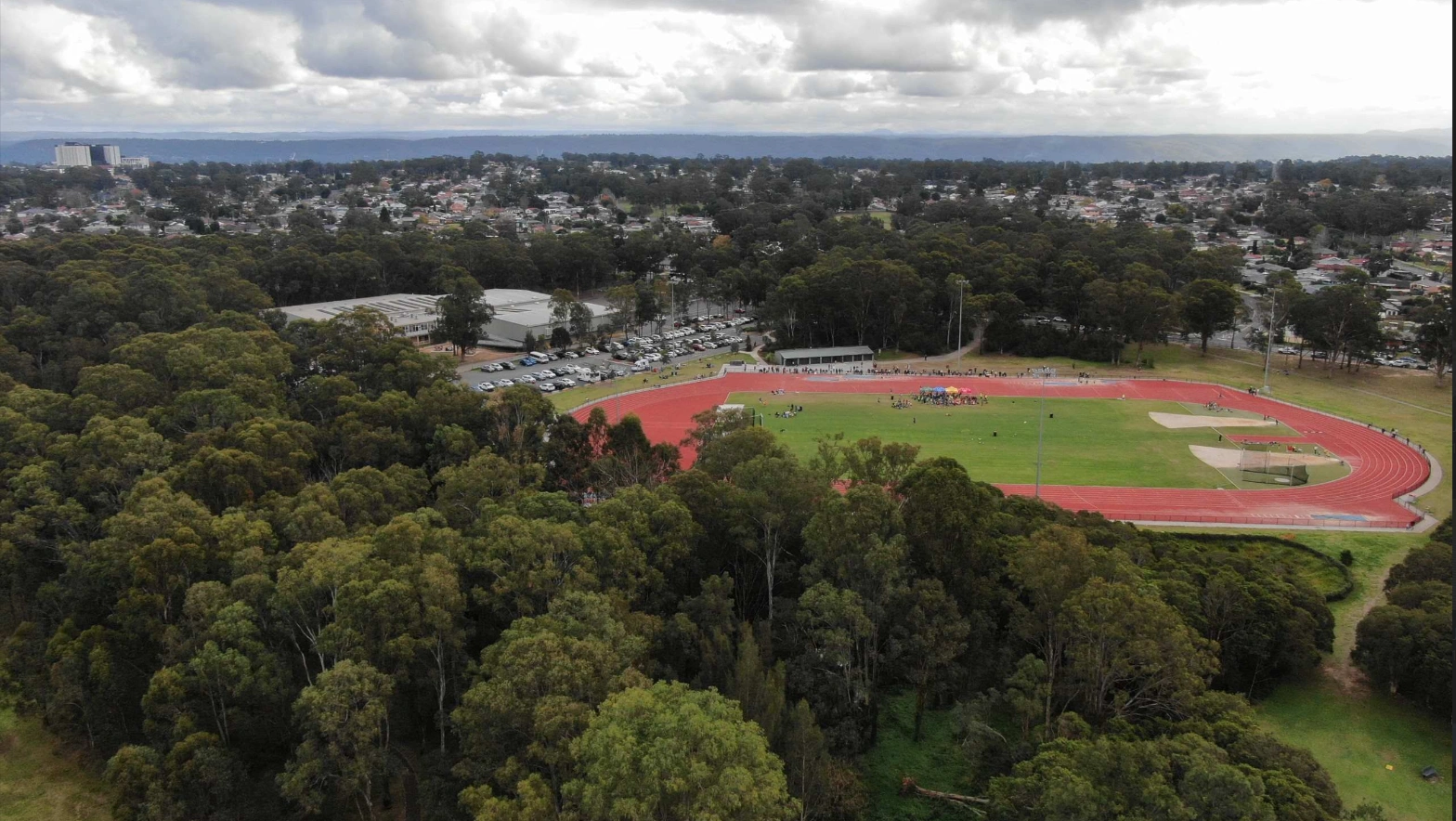
Document special events with videos, photographs or meet your surveillance requirements without having to acquire the license, drones and regulatory requirements to operate in certain situations.
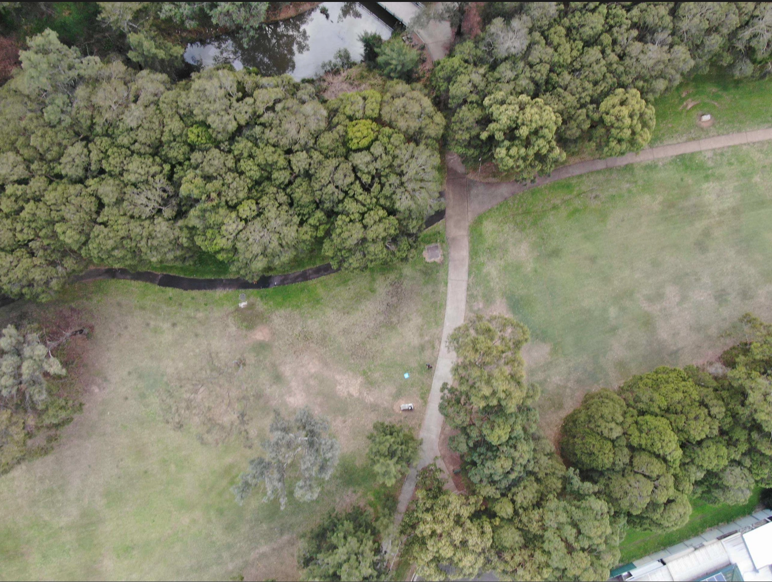
Videography
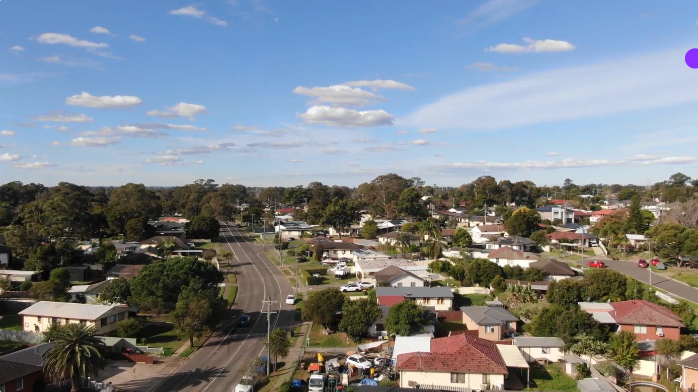
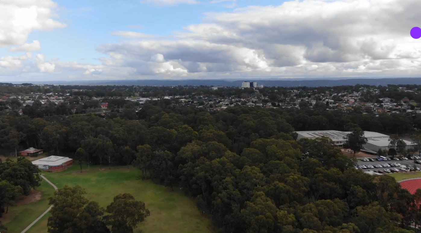
See examples of the video quality.
(Best viewed on a computer with a good internet connection)
Get in touch
Please provide your details below along with your message and we'll reply as soon as possible.
If you can include as much information as possible such as date, time, location and scope of the work.
We aim to get back to every query within 2 working days. If your request us urgent, please make that very clear in your message and we will endeavour to get back to you ASAP.